Uma Schmid · 27 September 2026
Roman Artefacts Near Erbistock Fuel Fresh Debates on Protecting Maelor's Hidden Historical Layers
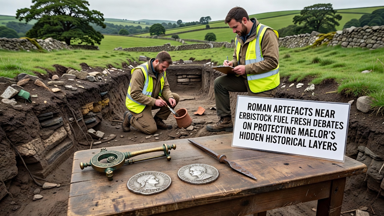
Recent excavations near Erbistock have uncovered a series of Roman artefacts including pottery fragments, coins and structural remains that date back to the first and second centuries AD; these finds have reignited discussions among heritage groups and local authorities about how best to safeguard the layered historical landscape of Maelor. The discoveries emerged during routine groundwork assessments conducted in the summer leading up to September 2026 when a scheduled regional symposium on borderland archaeology is set to review new evidence from the area. Experts from several institutions have catalogued the items and mapped their distribution across fields that lie within the historic Maelor district spanning parts of Wrexham and Flintshire.
Context of the Finds and Regional Significance
Archaeologists working with portable metal detectors and geophysical survey equipment located the artefacts in a zone previously considered low priority for Roman activity yet the concentration of finds suggests a small settlement or roadside station once operated close to the River Dee. Data from the fieldwork indicates that the site overlaps with earlier prehistoric layers and later medieval field systems creating a complex stratigraphic record that researchers now describe as one of the more intact sequences in the Welsh borderlands. According to records held by Cadw the artefacts add to a growing body of evidence that Roman influence extended further into the Maelor hinterland than previously mapped in older surveys.
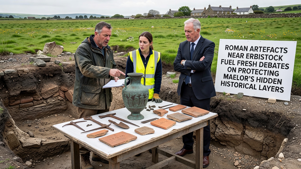
Those who have studied the distribution note that coin issues from the reign of Hadrian sit alongside locally produced ceramics which points to sustained occupation rather than a single transient military presence. The same surveys also recovered fragments of roofing tile and a section of possible boundary ditch that align with known Roman road alignments running from Chester toward the interior of north Wales. Observers note that these details matter because any future land management decisions must account for multiple periods of use stacked within the same small acreage.
Protection Debates and Planning Pressures
The fresh round of debate centres on balancing agricultural needs with conservation requirements since several of the find spots sit on working farmland that has seen incremental drainage and ploughing over decades. Local planning officers have received applications that propose limited residential expansion on adjacent plots while heritage consultants argue for expanded geophysical coverage before any consent is granted. In September 2026 the upcoming symposium will bring together representatives from the Clwyd-Powys Archaeological Trust and university teams to present comparative data from similar multi-period sites across the region.
Figures released by the Portable Antiquities Scheme show that reported Roman finds from the Maelor area have increased by twenty-seven percent over the past five years which reflects both greater public awareness and more systematic recording. Researchers at the University of York have modelled how continued ploughing could gradually disperse the remaining in-situ deposits and their report recommends targeted preservation in situ wherever feasible rather than full excavation of every scatter. The same modelling suggests that protective grass margins around known artefact concentrations could reduce further disturbance without removing large areas from productive use.
Broader Implications for Hidden Historical Layers
Those who have examined the wider Maelor landscape point out that the Erbistock cluster sits within a corridor that also contains Iron Age enclosures and early medieval settlement traces creating a palimpsest that spans at least two millennia. Protection strategies discussed so far include the creation of a local heritage character area that would require archaeological watching briefs on any works exceeding a certain depth. Such measures have already been applied successfully in comparable border parishes where multiple periods coexist within shallow soil profiles.
Evidence from geophysical surveys conducted last spring reveals linear anomalies consistent with ditched enclosures that may predate the Roman material by several centuries and these features could be affected by any change in land use. The upcoming September 2026 symposium is expected to produce a joint statement outlining recommended buffer zones and monitoring protocols that local councils could adopt when reviewing planning applications.
Conclusion
The Roman artefacts near Erbistock therefore function as a catalyst for renewed attention to the entire sequence of hidden layers beneath Maelor farmland and the discussions scheduled for September 2026 will determine how those layers are recorded and where necessary protected in coming years. Continued collaboration between landowners, archaeologists and planning authorities remains central to maintaining the integrity of this multi-period record while allowing sustainable use of the surrounding fields.